
Specifications
01 GNSS PERFORMANCE
- BEIDOU : B1L, B2L, B3L, B1C, B2A, B2B
- CHANNELS: 1608 CHANNELS
- GALILEO: E1, E5A, E5B, E6*
- GLONASS : L1, L2, L3
- GPS: L1C/A, L2C, L2P(Y), L5
- PPP : B2B-PPP
- QZSS : L1, L2, L5, L6*
- SBAS: L1, L2
02 GNSS ACCURACIES (²)
- AUTONOMOUS: HORIZONTAL: 1.5 M RMS
- AUTONOMOUS: VERTICAL: 2.5 M RMS
- CODE DIFFERENTIAL: HORIZONTAL: 0.4 M RMS
- CODE DIFFERENTIAL: VERTICAL: 0.8 M RMS
- POSITIONING RATE (³): 1HZ, 5 HZ AND 10 HZ
- POST - PROCESSING KINEMATICS (PPK): HORIZONTAL: 3 MM + 1 PPM RMS
- POST - PROCESSING KINEMATICS (PPK): VERTICAL: 5 MM + 1 PPM RMS
- POST - PROCESSING STATIC: HORIZONTAL: 2.5 MM + 0.5 PPM RMS
- POST - PROCESSING STATIC: VERTICAL: 5 MM + 0.5 PPM RMS
- REAL TIME KINEMATIC (RTK): INITIALIZATION RELIABILITY: >99.9%
- REAL TIME KINEMATIC (RTK): HORIZONTAL: 8 MM + 1 PPM RMS
- REAL TIME KINEMATIC (RTK): VERTICAL: 15 MM + 1 PPM RMS
- REAL TIME KINEMATIC (RTK): INITIALIZATION TIME: < 10 seconds
- TIME TO FIRST FIX (TO THE POWER 4): COLD START: < 45 SECONDS
- TIME TO FIRST FIX (TO THE POWER 4): HOT START: < 10 SECONDS
- TIME TO FIRST FIX (TO THE POWER 4): SIGNAL RE-ACQUISITION: < 1SECONDS
- VISION SURVEY: TYPICAL 2-4 CM, RANGE 2-10 M
03 IMU SENSOR
- ADDITIONAL HORIZONTAL POLE-TILT: TYPICALLY LESS THAN 2.5 CM WITH 30°
- IMU TILT ANGLE: 0-60°
- IMU TYPE : 4D AUTO-IMU
- IMU UPDATE RATE: 200 HZ
04 HARDWARE
- DROP : SURVIVE A 2-METER POLE DROP
- ENVIRONMENT: STORAGE: -40°C TO +85°C (-40°F TO + 185°F)
- ENVIRONMENT: OPERATING: -40°C TO +65°C (-40°F TO + 149°F)
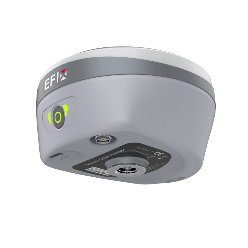
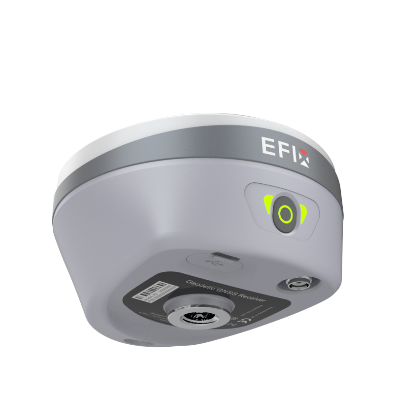
- FRONT PANEL : 1 LED + 1 BUTTON
- HUMIDITY: 100% NON-CONDENSATION
- INGRESS PROTECTION: IP67 WATERPROOF AND DUSTPROOF, PROTECTED FROM TEMPORARY IMMERSION TO DEPTH OF 1 M
- SHOCK RESISTANCE GRADE : IK08
- SIZE (L X W X H) : (134 MM X 80 MM) (5.28 IN X 3.15 IN)
- TILT SENSOR: CALIBRATION-FREE IMU FOR POLE-TILT COMPENSATION.
- TILT SENSOR: IMMUNE TO MAGNETIC DISTURBANCE
- WEIGHT : 750 G (1.65 LB)
05 CAMERA
- FIELD OF VIEW: 75°
- IMAGE GROUP CAPTURE: TYPICAL 2 HZ CAPTURING RATE, UP TO 25 HZ MAX. CAPTURING TIME: 60 S, SIZE OF AN IMAGE GROUP APPR. 60 MB
- SENSOR PIXELS: 2 MP
- VIDEO FRAME RATE: 25 FPS
06 COMMUNICATION
- BLUETOOTH: V 4.2
- DATA FORMATS: NTRIP CLIENT, NTRIP CASTER
- DATA FORMATS: HCNN, HRC AND RINEX STATIC FORMATS
- DATA FORMATS: RINEX2.11, 3.02 NMEA 0183 OUTPUT
- DATA FORMATS: RTCM2.X, RTCM3.X, CMR INPUT / OUTPUT, FULL STAR
- DATA STORAGE: 8 GB HIGH-SPEED MEMORY
- OTHERS: NFC
- PORTS: 1 X USB TYPE-C PORT (EXTERNAL POWER, DATA DOWNLOAD, FIRMWARE UPDATE) ,1 X UHF ANTENNA PORT (TNC FEMALE)
- UHF RADIO (TO THE POWER 5): STANDARD INTERNAL TX/RX: 410 - 470 MHZ
- UHF RADIO (TO THE POWER 5): RANGE: TYPICAL 3 KM, UP TO 8 KM WITH OPTIMAL CONDITIONS
- UHF RADIO (TO THE POWER 5): LINK RATE: 9,600 BPS TO 19,200 BPS
- UHF RADIO (TO THE POWER 5): PROTOCOL: EFIX, TRANSPARENT, TT450, SATEL (TO THE POWER 6)
- UHF RADIO (TO THE POWER 5): TRANSIT POWER: 0.5 W, 1W
- WI-FI: 802.11 B/G/N/AC, ACCESS POINT MODE
07 ELECTRICAL
- LI - ION BATTERY CAPACITY: RECHARGEABLE AND BUILT-IN LITHIUM BATTERY 4900MAH, 7.2 V
- OPERATING TIME ON INTERNAL BATTERU (TO THE POWER 7): STATIC: UP TO 22 H
- OPERATING TIME ON INTERNAL BATTERY ( TO THE POWER 7): RTK ROVER, VISION STAKEOUT/VISION SURVEY: UP TO 9.5 H
- OPERATING TIME ON INTERNAL BATTERY (TO THE POWER 7): RTK ROVER, UHF / 4G MODE W/O CAMERA: UP TO 16.5 H
- OPERATING TIME ON INTERNAL BATTERY (TO THE POWER 7): UHF RTK BASE: UP TO 10H
- POWER CONSUMPTION: TYPICAL 2.2 W (DEPENDING ON USER SETTINGS)
Description
Full Constellation Support and Advanced RTK Engine:RTK Signal Boosted by 60%
• 1608 signal channels and advanced Full-Star algorithm to track full constellation and frequencies.
• High-efficiency SoC provides a 60% increase in processing speed.
Effortless AR Vision Navigation + Vision Stakeout
• Convenient AR vision navigation with large arrows and accurate real-time distance indication.
• Immersive AR Visual Stakeout to vividly display ground stakeout points in the eField software, increasing efficiency by 50%.
Vision Survey: Accurately Measure Complex Scenes in Real-Time
• Easily obtain high-precision 3D coordinates from real-time video, enabling accurate measurements of challenging scenes, including signal-obscured, hard-to-reach, and hazardous points.
• High-speed dynamic panoramic shooting, high-quality and distortion-free image capture, automated image matching with up to 85% overlap rate.
Efficient 3D Modeling From Field to Office
• Capture POS photos with F8's Vision Survey for individual building modeling and collaborative drone modeling to complement aerial surveys.
• Seamlessly integrate F8's engineering data into industry-standard software such as ContextCapture for 3D modeling.
Fully Integrated GNSS and 4D Auto-IMU
• Automatic 4D IMU initialization during motion eliminates initialization thresholds.
• Maintain IMU initialization throughout field operations to ensure continuous accuracy.
eField: Empower Engineering & Constructions Professionals
• Effortless stakeout with automatic rotation of the CAD base map based on the surveyor's perspective.
• Smooth handling of large CAD drawings for efficient graphical operations.
• Optimize Triangulated Irregular Networks (TIN) for accurate earthwork calculations using advanced filtering techniques.
• Simplify road stakeout with a graphical representation of cut-fill values imported via LandXML.
F8 Rover Kit Includes:
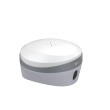
-F8 GNSS Receiver
-F8 Rover Hard Carry Case
-Power Adapter (5V 2.4 A)
-UHF Whip Antenna (450-470 MHZ)
-Auxiliary H.I. Tool
-USB Type-C Cable
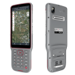
-FC2 Handheld GNSS Data Collector
-Android Stylus
-Controller Bracket (Cramp)
-2m Range Pole (With Bag)
-eField Data Collection Software (Android)
Video
Store Policies
Payment Policy
Pay the full order amount through the Buy Surveying Instruments platform. Payment will only be released to us once the customer is satisfied with the purchase.
Delivery Policy
Delivery will be arranged in 1 - 3 days once the order is placed through the Buy Surveying Instruments Platform. From there it's in the hands of our courier partner and will be delivered as soon as possible.
Refund Policy
After the order is delivered, the customer has 3 days to cancel the order or request a return. When a return is requested, the money will be transferred from the Buy Surveying Instruments secure holding account back to the purchaser. If for some or other reason the customer is unhappy after the initial 3 days elapsed, we have a 30 day many back guarantees, where we will pay the full order amount minus marketplace fee back into the customer's account.
In Stock/Out of Stock Comment to Buyer
Please contact us regarding stock. When is stock, lead time 2 - 3 working days, out of stock can still purchase with a lead time of 10 - 14 working days.
Customer reviews
Share your thoughts with other customers
Be the first one to write a review!

